Directions
Marina Bay Yacht Harbor: 1340 Marina Way South, Richmond, CA 94804
Phone: 510.236.1013
Fax: 510.236.1957
Hours: 9am to 5pm Monday – Saturday
From Marin:
I-580 E across the Richmond/San Rafael Bridge (towards Richmond/Oakland)
Exit at Cutting Blvd toward Harbour Way (Exit 9)
Merge onto Hoffman Blvd.
Turn Right onto Harbour Way South
Turn Left onto Hall Ave.
From San Francisco/Oakland:
I-80 E/I-580 W
Take the Pt. Richmond/San Rafael Exit onto I-580 W
Exit at Harbour Way North (Exit 9B)
Turn right onto Cutting Blvd.
Turn right onto Marina Way South
From Sacramento:
I-80 W towards Oakland/San Francisco
Exit at Central Ave. (Exit 14A)
Turn Right on Central and Merge onto I-580 W toward San Rafael
Exit at Harbour Way North (Exit 9B)
Turn right onto Cutting Blvd.
Turn right onto Marina Way South
Maps/Directions to D-Dock E-Dock F & G Docks
Comprehensive Bay Area Transit Planner at: www.511.org
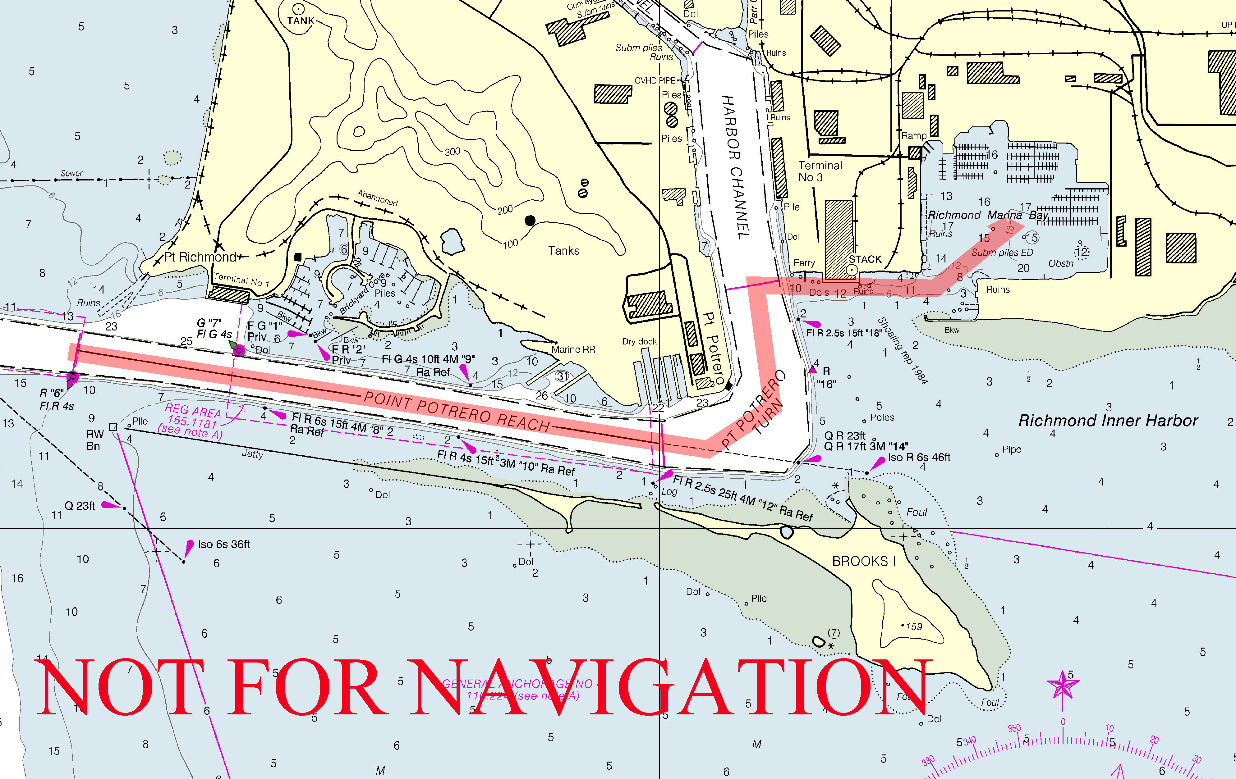
Use Chart 18653
Enter the Richmond Channel and continue ESE along the Point Potrero Reach
Turn North at the Point Potrero Turn
Turn East to the Marina Bay Entrance Channel
The entrance channel is 175 feet wide and is marked with unlit red buoys, depth at Mean Lower Low Water (“zero tide”) is approximately 12 feet.
It is recommended vessels parallel the Ford Building Pier (marked “ferry” & “stack” on the chart) rather than turn immediately after passing Daymark #18. Do not cut the corner! Shallow water is just outside the marked channel.
Note: The area between Daymark #18 and the first buoy is shallow. Avoid turning too early: stay in deep water until you can turn down the center of the channel.
Once in Marina Bay the average depth is 12 to 18 feet.
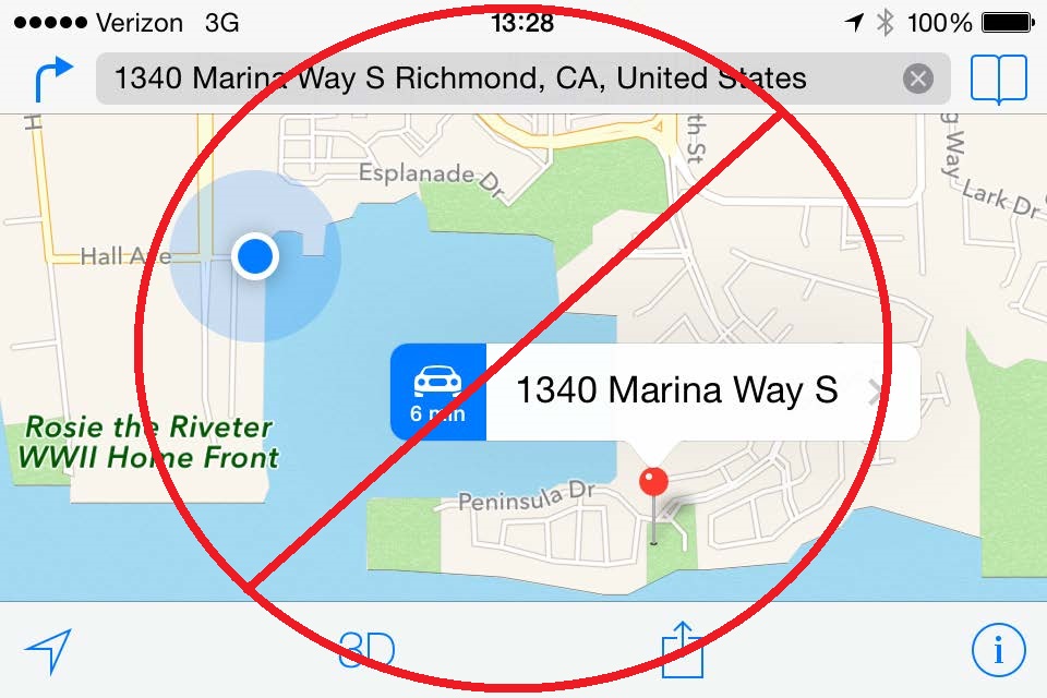
(Note: Avoid using Apple Maps. Apple Maps may direct you to a park about a mile away)